

In today’s rapidly evolving infrastructure and construction landscape, accurate data collection is more important than ever. Whether it is a highway project, mining operation, township development, or industrial plant construction, precise mapping and topographic information form the backbone of successful planning and execution. Traditional land surveying methods have served the industry for decades, but with advancements in technology, Aerial Survey has emerged as a faster, safer, and more efficient alternative.
At Epitome Geotechnical Services, we provide advanced Aerial Survey solutions using state-of-the-art drone technology to deliver high-accuracy mapping and geospatial data for projects of all scales across India.
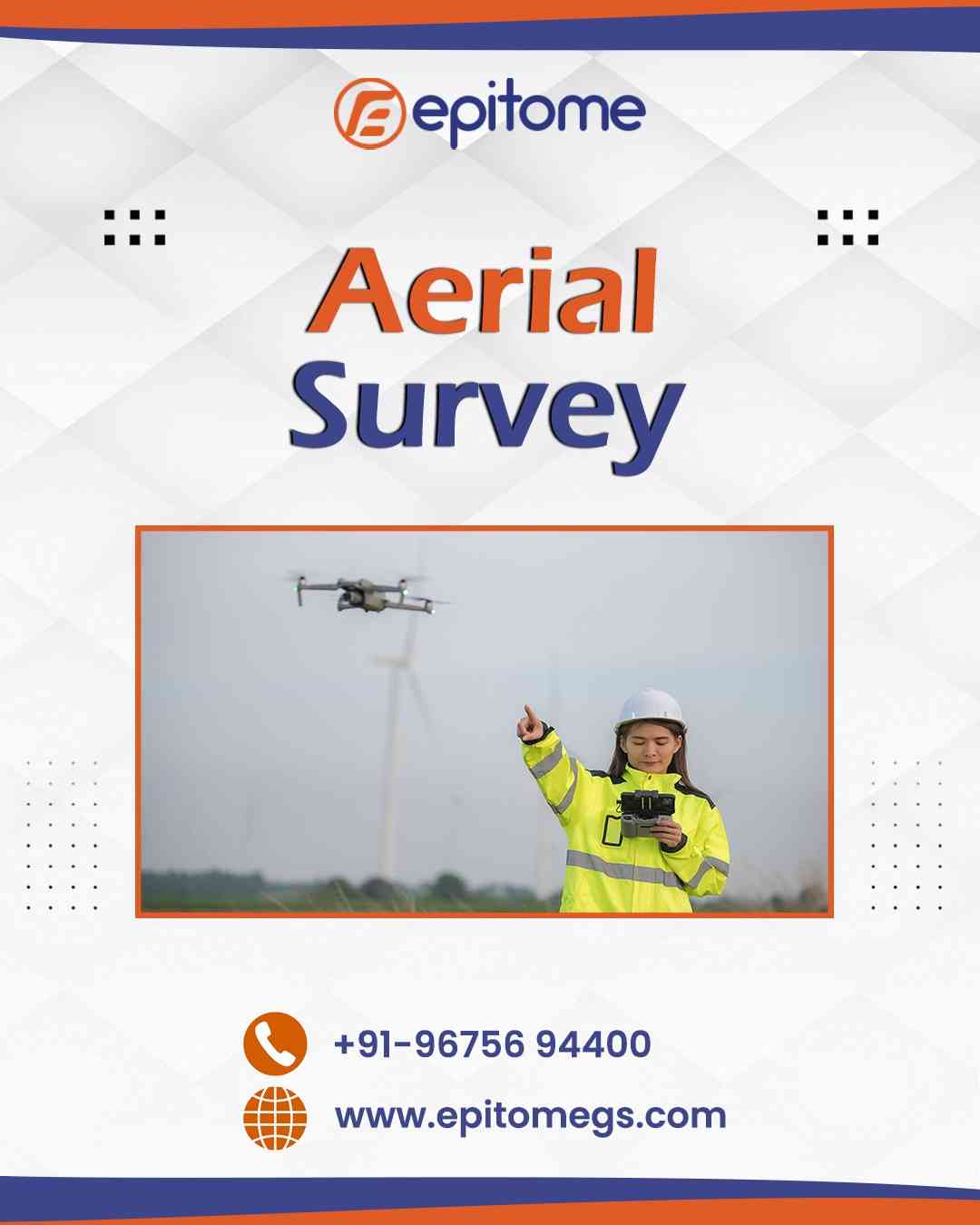
An Aerial Survey is a method of collecting geographic and spatial data from the air using drones or Unmanned Aerial Vehicles (UAVs). These drones are equipped with high-resolution cameras, GPS systems, and advanced sensors that capture detailed images and measurements of the land below.
The collected data is processed using specialized software to generate:
This technology enables surveyors to cover vast areas in a fraction of the time required by conventional ground survey techniques.
The adoption of aerial surveying technology is increasing rapidly due to its numerous advantages. Let’s explore why it is becoming the preferred choice for modern infrastructure and development projects.
Modern drones integrated with GPS and Ground Control Points (GCPs) offer centimeter-level accuracy. This ensures reliable data for engineering design, construction planning, and land development.
Time is critical in construction and infrastructure projects. Aerial surveys significantly reduce field time. Large areas that would normally take days or weeks to survey can be completed within hours.
Reduced manpower, minimal equipment setup, and faster data collection lower overall operational costs. This makes aerial surveying an economical solution for both small and large projects.
Certain terrains such as mines, riverbanks, steep slopes, highways, and industrial zones can be hazardous for ground survey teams. Drones eliminate the need for surveyors to physically access dangerous areas.
High-resolution imagery provides clear visual records of the site. This is extremely useful for progress monitoring, dispute resolution, and future reference.
Aerial Survey services are widely used across multiple sectors. At Epitome Geotechnical Services, we provide customized solutions for diverse industries.
Roads, highways, bridges, railways, and metro projects require accurate alignment data and terrain analysis. Aerial surveys provide precise topographic maps and elevation data for design and planning.
Drone surveys are highly effective for mine planning, stockpile volume calculation, and pit monitoring. Regular aerial mapping helps track excavation progress and ensure regulatory compliance.
Developers rely on aerial surveys for land assessment, layout planning, and 3D visualization. Accurate contour mapping assists in drainage planning and infrastructure design.
For factory layout planning, expansion projects, and plant site analysis, aerial surveys provide quick and reliable site information.
Aerial data helps in land use analysis, vegetation monitoring, water body mapping, and environmental impact assessment.
Drone surveys are ideal for mapping riverbanks, canals, and water bodies, especially in difficult-to-access locations.
At Epitome Geotechnical Services, we follow a systematic approach to ensure accuracy, reliability, and timely delivery.
Our team evaluates project requirements, site conditions, and client expectations. Flight planning is conducted to ensure complete coverage of the survey area.
Ground Control Points are established where necessary to enhance positional accuracy.
High-performance drones capture aerial images and spatial data using advanced sensors and calibrated cameras.
The collected data is processed using specialized photogrammetry software to generate maps, models, and measurements.
Our experts conduct detailed quality checks before delivering final outputs in client-required formats.
All deliverables are prepared with precision and in accordance with industry standards.
Accurate terrain models simplify design and reduce errors.
Quick data access speeds up execution and avoids delays.
Clear visual mapping improves planning and marketing presentations.
Reliable mapping supports urban planning and infrastructure monitoring.
Epitome Geotechnical Services stands out as a trusted provider of professional Aerial Survey services. Our commitment to accuracy, technology, and client satisfaction makes us a preferred choice across industries.
We use modern UAV systems equipped with high-resolution cameras and precise GPS integration.
Our skilled professionals have extensive experience in survey planning, execution, and data processing.
We prioritize precision and follow strict quality control measures.
Meeting deadlines is a core part of our service commitment.
Every project is unique. We tailor our aerial survey services to match specific client requirements.
The future of aerial surveying is promising. With advancements in drone technology, LiDAR integration, AI-based data processing, and automation, survey accuracy and efficiency will continue to improve.
Industries are increasingly adopting drone surveys for:
Epitome Geotechnical Services remains committed to staying at the forefront of these technological advancements to deliver cutting-edge solutions.
Aerial Survey has revolutionized the way mapping and land assessment are conducted. Its ability to deliver accurate, fast, cost-effective, and safe data collection makes it an essential tool for modern infrastructure and development projects.
Whether you are planning a highway, managing a mining site, developing a township, or expanding an industrial facility, aerial survey technology provides the precise data needed for informed decision-making.
At Epitome Geotechnical Services, we combine advanced drone technology with professional expertise to deliver reliable and high-quality aerial survey solutions across India.
If you are looking for trusted and accurate Aerial Survey Services, contact us today.
📞 Phone: +91-96756 94400
🌐 Website: www.epitomegs.com
Let Epitome Geotechnical Services support your next project with precision-driven aerial mapping solutions.
#AerialSurvey #DroneSurvey #LandSurvey #GeotechnicalServices #TopographicSurvey #UAVSurvey #InfrastructureDevelopment #MappingSolutions #EpitomeGeotechnical #SurveyingServices

© 2025 Crivva - Hosted by Airy Hosting Managed Website Hosting.