Discover the importance and benefits of underground scanning and mapping with Epitome.
In the fast-evolving world of urban development and infrastructure, knowing what lies beneath the surface is just as important as what is built above. Underground scanning and mapping is a modern technique used to detect, identify, and record the position of underground utilities and structures without digging. It has become a critical component in construction, engineering, and maintenance projects.
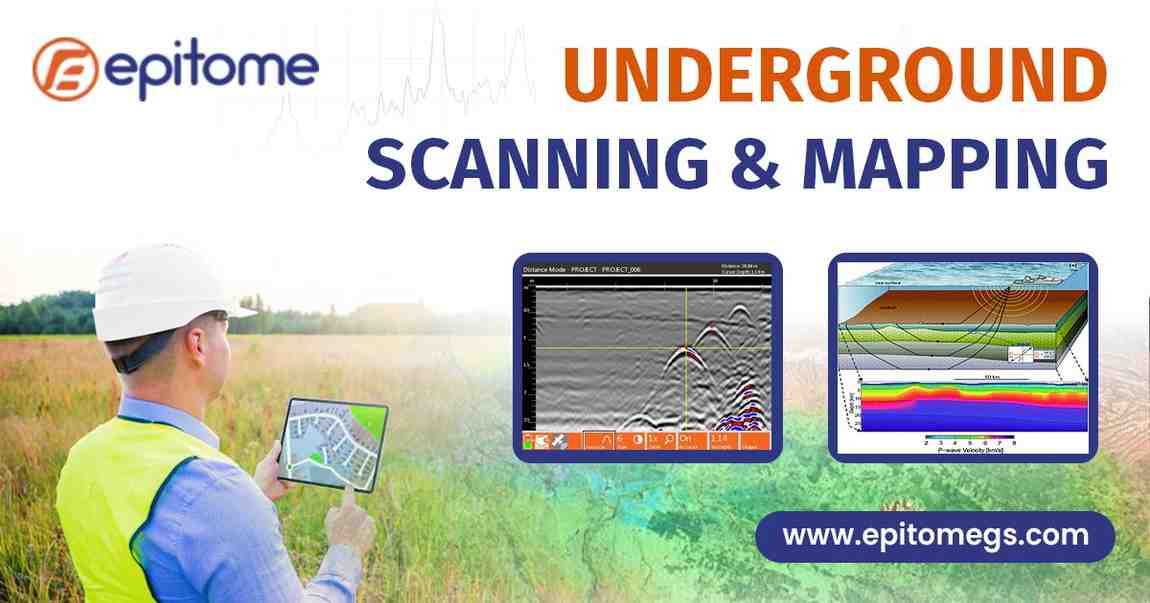
Underground scanning and mapping refers to the process of locating hidden underground assets like water pipelines, electrical cables, fiber optics, gas lines, sewage systems, and even historical or geological features. Using advanced tools such as Ground Penetrating Radar (GPR), electromagnetic locators, and GIS technology, specialists can create accurate representations of subsurface conditions.
This non-invasive approach helps planners and engineers understand the complexity of underground networks before excavation, minimizing risk and maximizing efficiency.
Why Is It Important?
1. Avoiding Costly Mistakes
Digging without knowledge of underground utilities can lead to major accidents, including broken pipelines, electric shocks, or service outages. These mistakes are not only dangerous but also expensive to repair. Underground scanning helps prevent such incidents by revealing the exact location and depth of underground assets.
2. Ensuring Safety
Safety is a top priority on any construction site. Damaging a high-voltage power line or gas main can lead to life-threatening situations. With accurate underground maps, construction teams can plan their work without endangering workers or the public.
3. Fulfilling Legal and Regulatory Requirements
In many countries, conducting a utility scan before excavation is a legal requirement. Underground mapping ensures that companies comply with local and national safety regulations, reducing the risk of legal penalties.
4. Accurate Planning and Design
Architects and engineers need precise information to design effective infrastructure. With underground scanning, they can factor in existing utilities and design accordingly, reducing redesigns and unexpected delays during construction.
5. Time Efficiency
Knowing what’s underground before beginning work avoids unnecessary delays caused by unexpected obstructions. This means projects are completed faster and with fewer disruptions.
Non-Destructive Investigation
The scanning process does not require any physical digging or damage to the surface, making it clean, quick, and environmentally friendly.
Data Accuracy
Modern scanning tools deliver high-resolution, 3D data that shows utility depth, type, and position, enhancing decision-making.
Project Cost Reduction
Early detection of underground issues prevents expensive rework, delays, and damage-related repairs.
Better Coordination
With shared underground utility data, multiple teams (contractors, engineers, utility providers) can coordinate more efficiently.
Historical and Geological Insight
In addition to utilities, scanning can identify old foundations, tunnels, or geological risks like sinkholes—helpful for heritage sites and sensitive areas.
Conclusion
Underground scanning and mapping is no longer optional—it’s essential for safe, cost-effective, and compliant development. Whether you’re involved in construction, infrastructure maintenance, or urban planning, knowing what lies beneath is a powerful advantage.
By adopting advanced scanning technologies, you not only protect people and assets but also ensure that your projects stay on track, on budget, and within legal boundaries.
Before you dig, scan. It’s a smart step that leads to safer and more successful outcomes.