Exploring the Depths with Epitome Geo Technical Services

Enter Epitome Geo Technical Services, a beacon in the realm of bathymetric surveying. With cutting-edge technology and a team of skilled professionals, they are at the forefront of unlocking the secrets of the ocean floor. Specializing in comprehensive surveying solutions, Epitome Geo Technical Services provides a range of services tailored to meet the unique needs of their clients.

In the vast expanse of our oceans lie hidden mysteries, depths uncharted, and secrets waiting to be unveiled. Beneath the waves, a world teeming with life and geological wonders awaits exploration. However, understanding and navigating these underwater realms require specialized knowledge and tools. This is where bathymetric surveying emerges as an invaluable asset, offering us a window into the unseen depths of our planet’s waters.

What is Bathymetric Surveying?

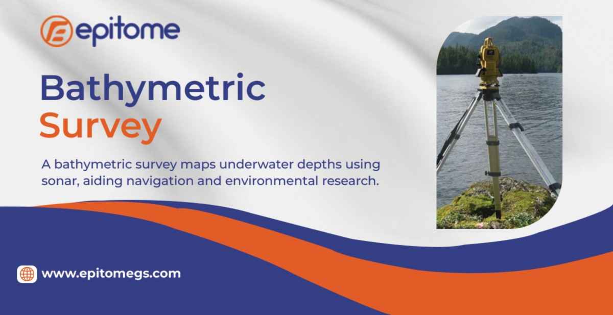
Bathymetric surveying is the science of measuring and mapping the underwater terrain of oceans, seas, lakes, and rivers. By utilizing various tools and techniques, including sonar technology and satellite imagery, bathymetric surveyors create detailed maps known as bathymetric charts. These charts not only reveal the topography of the ocean floor but also provide crucial insights into underwater features such as seafloor geology, marine habitats, and potential hazards.

The Importance of Bathymetric Surveying

The significance of bathymetric surveying extends far beyond mere cartography. It plays a pivotal role in numerous industries and scientific endeavors, including:

1. Marine Navigation:

Accurate bathymetric charts are essential for safe navigation, helping mariners avoid underwater obstacles and plan efficient routes.

2. Offshore Resource Exploration:

From oil and gas exploration to renewable energy projects such as offshore wind farms, bathymetric surveys are instrumental in locating and assessing potential sites for resource extraction and development.

3. Environmental Conservation:

By mapping underwater habitats and identifying sensitive ecosystems, bathymetric surveying supports efforts to protect marine biodiversity and preserve fragile marine environments.

4. Disaster Management:

In the event of natural disasters such as tsunamis or coastal erosion, bathymetric data can aid in assessing risks and developing mitigation strategies to safeguard coastal communities.

5. Scientific Research:

Bathymetric surveys provide scientists with valuable data for studying oceanography, geology, marine biology, and climate change, contributing to our understanding of Earth’s interconnected systems.

Conclusion: Navigating the Depths with Confidence

In an age where the oceans remain one of the last frontiers of exploration, bathymetric surveying emerges as a cornerstone of progress and discovery. Through the expertise of companies like Epitome Geo Technical Services, we gain unprecedented access to the hidden landscapes beneath the waves, empowering us to navigate, explore, and protect our planet’s oceans with confidence and precision. As we continue to unlock the mysteries of the deep, bathymetric surveying stands as an epitome of our quest for knowledge and stewardship of the marine realm.

Learn More :https://epitomegs.com
Contact :+91-96756 94400


Epitome is a pioneering Bathymetric Survey Company in India, at the forefront of hydrographic surveying and mapping services. With a commitment to precision and innovation, Epitome has established itself as a trusted name in the industry, delivering comprehensive solutions for clients across various sectors.

Bathymetric Surveys: Unraveling the Depths

Epitome specializes in bathymetric surveys, a critical component of hydrographic mapping that focuses on measuring the depth of water bodies. These surveys provide essential data for nautical charting, coastal zone management, dredging operations, environmental monitoring, and offshore infrastructure development.

Cutting-Edge Technology and Expertise

At the heart of Epitome’s success lies its cutting-edge technology and a team of skilled professionals. Utilizing state-of-the-art multibeam echosounders, side-scan sonars, and GNSS positioning systems, the company ensures unparalleled accuracy in data collection. Epitome’s team comprises experienced hydrographers, geophysicists, and GIS experts who leverage their expertise to interpret and analyze the collected data effectively.

Applications Across Industries

Epitome caters to diverse industries, offering bathymetric survey services with applications ranging from port and harbor development to offshore oil and gas exploration. The data generated by Epitome’s surveys aids in optimizing maritime infrastructure, ensuring safe navigation, and supporting environmental management initiatives.

Port and Harbor Development:

In the realm of port and harbor development, Epitome plays a crucial role in providing accurate bathymetric data. This data is instrumental in designing and maintaining navigation channels, optimizing berthing facilities, and ensuring the safe passage of vessels. The company’s surveys contribute to the overall efficiency and safety of maritime operations.

Offshore Oil and Gas Exploration:

For the offshore oil and gas industry, Epitome’s bathymetric surveys are indispensable. Accurate mapping of the seafloor is essential for site selection, pipeline routing, and subsea infrastructure planning. Epitome’s comprehensive approach ensures that the unique challenges of offshore environments are addressed, supporting the exploration and extraction of valuable resources.

Environmental Monitoring:

Epitome actively contributes to environmental monitoring through its bathymetric surveys. By assessing the underwater terrain and ecosystem, the company assists in identifying sensitive areas and implementing measures to protect marine biodiversity. This proactive approach aligns with global sustainability goals and ensures responsible utilization of aquatic resources.

Infrastructure Planning:

The data collected by Epitome’s surveys becomes a foundational element in infrastructure planning. Whether it’s the construction of bridges, submarine cables, or renewable energy installations, understanding the underwater topography is critical. Epitome’s bathymetric surveys provide the necessary insights to support the planning and execution of diverse infrastructure projects.

Compliance with International Standards

Epitome adheres to stringent international standards in its surveying processes. The company’s commitment to quality is reflected in its compliance with standards such as IHO S-44 for hydrographic surveys and IHO S-57 for electronic navigational charts. This ensures that the data delivered by Epitome meets the highest accuracy and reliability benchmarks.

Client-Centric Approach

Epitome takes pride in its client-centric approach, tailoring its services to meet the specific needs of each project. The company’s collaborative ethos involves working closely with clients to understand their goals and challenges, delivering customized solutions that exceed expectations.

Conclusion

Epitome stands as a beacon in the realm of bathymetric surveying, contributing significantly to the development and sustainability of maritime infrastructure. With advanced technology, a skilled workforce, and a commitment to excellence, Epitome continues to be a trusted partner for clients seeking precise and reliable bathymetric survey solutions in India.

visit: https://epitomegs.com/our-services/hydrographic-survey/

© 2024 Crivva - Business Promotion. All rights reserved.