Bathymetric surveying is an indispensable tool in understanding the underwater environment
Bathymetric surveying is a specialized branch of hydrographic surveying that focuses on mapping the underwater topography of oceans, seas, rivers, and lakes. As the field of marine exploration and environmental conservation expands, understanding the underwater landscape has become increasingly important. At Epitome, we are committed to providing advanced bathymetric surveying services, utilizing cutting-edge technology to deliver precise and comprehensive underwater maps. This blog will explore what bathymetric surveying entails, its applications, and how Epitome can help you navigate the depths.
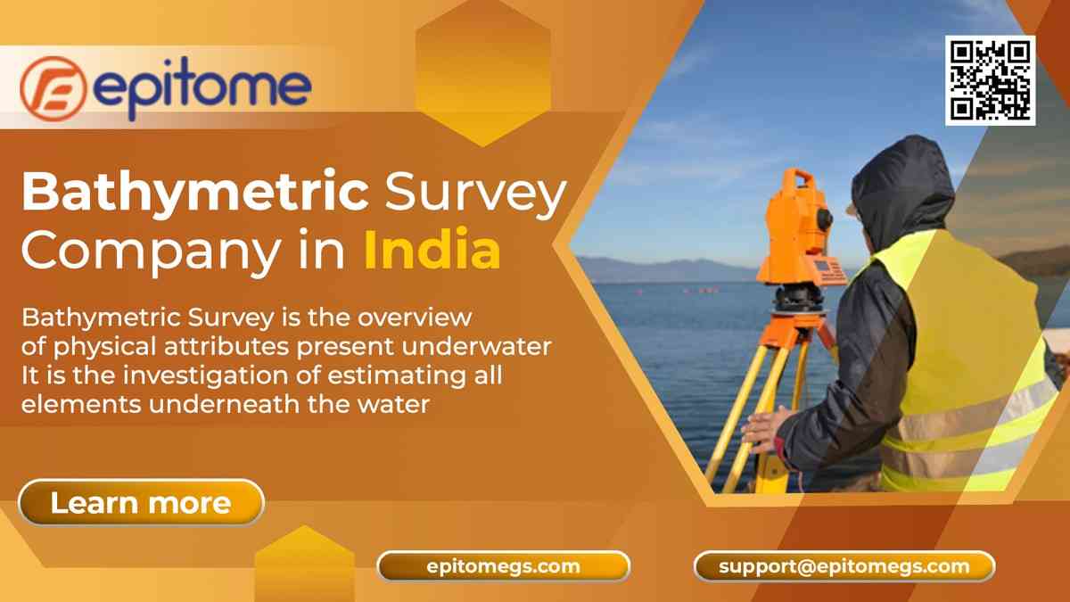
Bathymetric surveying is the process of measuring the depth and topography of water bodies. Unlike traditional land surveying, which deals with terrestrial landscapes, bathymetry is concerned with underwater features. The primary objective of bathymetric surveys is to create detailed maps of the seafloor, which include data on underwater mountains, valleys, trenches, and other features.
The methods used in bathymetric surveying have evolved significantly over the years. Traditional methods involved using lead lines and sounding poles, but modern techniques now employ sonar technology, particularly multibeam and single-beam echo sounders. These devices emit sound waves and measure the time it takes for them to return after bouncing off the seafloor. The data collected from these sound waves is then processed to generate accurate maps of the underwater terrain.
Bathymetric surveys are used in a wide range of applications, including:
Navigation and Safety: Bathymetric charts are crucial for safe navigation, helping ships avoid underwater hazards and find safe passage. They are essential for port and harbor development, dredging, and maintaining shipping lanes.
Environmental Studies: Understanding underwater topography is vital for environmental monitoring and conservation efforts. Bathymetric surveys help identify habitats, track changes in underwater ecosystems, and monitor sediment transport.
Engineering and Construction: Bathymetric data is essential for offshore construction projects, such as building oil rigs, wind farms, and underwater pipelines. It provides a detailed understanding of the seafloor conditions, ensuring safe and efficient construction practices.
Disaster Management: In the event of natural disasters like tsunamis or hurricanes, bathymetric data can help predict the impact of these events and plan effective response strategies.
Archaeological Exploration: Bathymetric surveys assist in locating and mapping underwater archaeological sites, shipwrecks, and other submerged historical artifacts.
At Epitome, we leverage state-of-the-art technology and a team of experienced professionals to deliver precise and reliable bathymetric surveying services. Here’s what sets us apart:
We use the latest sonar systems, including multibeam and side-scan sonar, to collect high-resolution data. Our equipment is capable of capturing detailed imagery of the underwater landscape, providing clients with comprehensive and accurate maps.
Our team of hydrographic surveyors and marine scientists has extensive experience in conducting bathymetric surveys across various environments, from shallow coastal waters to deep oceans. We are skilled in interpreting data and providing actionable insights for diverse applications.
We understand that every project is unique, and we tailor our services to meet the specific needs of our clients. Whether you require a survey for a small lake or an extensive coastal region, we have the expertise and resources to deliver.
At Epitome, we prioritize data accuracy and integrity. Our rigorous quality control processes ensure that the data we provide is precise and reliable, giving you confidence in your decision-making.
Choosing Epitome for your bathymetric surveying needs means choosing a partner who is committed to excellence. We pride ourselves on our ability to provide high-quality services that meet the specific requirements of our clients. Whether you’re in the marine, environmental, construction, or archaeological sector, our comprehensive bathymetric surveys can provide you with the insights you need to succeed.
Bathymetric surveying is an indispensable tool in understanding the underwater environment. At Epitome, we are dedicated to providing top-notch bathymetric surveying services, using the latest technology and expertise to deliver accurate and comprehensive underwater maps. If you’re looking for a reliable partner to help you explore the depths, look no further than Epitome. Contact us today to learn more about our services and how we can assist with your next project.
More Info : https://epitomegs.com/
Contact us :+91-96756 94400