Explore the power of bathymetric surveys — the epitome of underwater mapping and seafloor analysis.
The ocean covers over 70% of the Earth’s surface, yet much of its vast expanse remains unexplored. Unlocking the mysteries beneath the waves requires advanced techniques, and one of the most crucial among them is bathymetry — the science of measuring the depth of water bodies and charting the underwater features of the ocean floor. Often hailed as the epitome of ocean mapping,provides the foundation for everything from scientific discovery to national security, maritime navigation, and climate research.
Bathymetry is the underwater equivalent of topography. While topographic maps depict land elevation above sea level, bathymetric maps illustrate the shape and features of the ocean floor. These maps show mountains, valleys, trenches, ridges, and plains beneath the sea. The data collected through bathymetric surveys enables scientists and engineers to understand the physical features and geological processes of the seafloor.
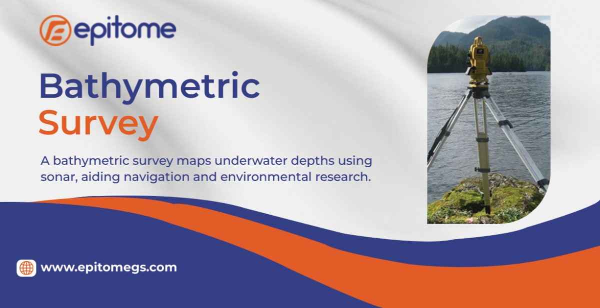
Modern bathymetric mapping is carried out using technologies such as sonar (sound navigation and ranging), LIDAR (light detection and ranging), and satellite altimetry.
Single-beam and multibeam sonar systems are mounted on ships or autonomous underwater vehicles (AUVs) and send sound pulses toward the ocean floor. The time it takes for the sound waves to bounce back is used to calculate depth.
Multibeam sonar is particularly powerful, as it can scan wide swaths of the seafloor in high resolution.
Satellite altimetry measures the sea surface height and uses variations caused by seafloor features to infer underwater topography.
Bathymetry plays a critical role in various fields:
Maritime Navigation: Safe navigation of ships depends on accurate seafloor charts, especially in shallow or coastal waters.
Environmental Management: It helps in monitoring and managing marine ecosystems, coral reefs, and fishing grounds.
Geological Research: Bathymetric data supports the study of tectonic plate movement, underwater earthquakes, and volcanic activity.
Tsunami and Flood Prediction: Bathymetric maps help model ocean currents and wave behavior, crucial for predicting the impact of natural disasters.
National Defense and Offshore Engineering: Governments and industries use bathymetry for submarine operations, laying pipelines, and building offshore wind farms.
What makes bathymetry the epitome of ocean mapping is its ability to reveal the unseen. It transforms a flat, blue surface into a richly detailed underwater landscape, enabling a deeper understanding of our planet’s geology and hydrology. Thanks to advances in remote sensing and digital mapping, today’s bathymetric maps are more precise than ever, offering insights into ecosystems and resources previously unknown.
Projects like Seabed 2030, a global initiative to map the entire ocean floor by 2030, underline the growing importance of bathymetry. With the use of AI, robotics, and crowd-sourced data, the science is evolving rapidly, bridging the gap between surface exploration and deep-sea knowledge.
In conclusion, bathymetry stands as the cornerstone of marine science and exploration. As we continue to explore the final frontier on Earth — our oceans — bathymetry remains our most reliable guide, truly the epitome of ocean mapping.