Epitome Survey is India’s leading drone survey company, delivering high-precision aerial mapping, 3D modeling, and land surveying solutions .
In today’s fast-moving world, Drone Survey technology is shaping industries in ways we never imagined a decade ago. One such groundbreaking advancement is the drone survey—a technique that has redefined how we observe, measure, and map the world around us. Fast, precise, safe, and cost-effective, drone surveys have quickly become the epitome of modern surveying methods, replacing traditional systems with smarter, more efficient solutions.
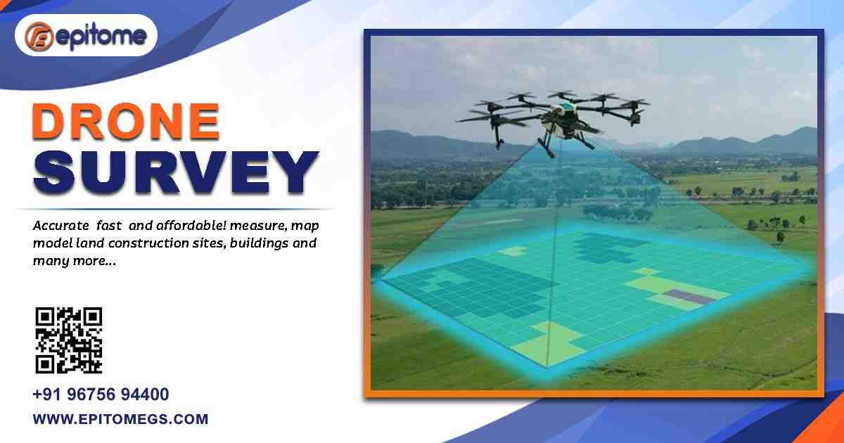
A drone survey uses unmanned aerial vehicles (UAVs) fitted with high-definition cameras, GPS, LiDAR, and other sensors to capture data from above. The drone flies over the target area, collecting hundreds or even thousands of aerial images. These are later processed using photogrammetry software to produce accurate maps, 3D models, topographic data, and more.
Unlike traditional surveys that require boots on the ground and time-consuming manual measurements, drones provide a bird’s-eye view and deliver results in a fraction of the time.
Drone surveys have become the epitome of modern surveying—offering unmatched speed, precision, and safety. From 3D mapping to thermal imaging, explore the key benefits and outputs transforming industries today.
1. Unmatched Speed and Efficiency
Drone surveys can complete large-scale data collection in hours, where traditional methods might take days. Whether it’s a 100-acre farmland or a vast construction site, drones speed up the process significantly, helping teams make quicker decisions.
2. High Accuracy and Detail
Modern drones are equipped with advanced GPS and RTK (Real-Time Kinematic) systems that offer centimeter-level accuracy. Combined with powerful post-processing software, the outputs are not only detailed but also reliable enough for engineering, planning, and environmental studies.
3. Safe Access to Hazardous Areas
Surveying dangerous or hard-to-reach locations like cliffs, rooftops, active construction zones, or disaster-hit areas becomes effortless and safe. Instead of risking human life, drones can capture needed data from above.
4. Cost-Effective Operations
By reducing the manpower, time, and expensive equipment typically needed for surveys, drones lower the overall cost of surveying projects. Also, the ability to detect issues early can prevent costly rework later on.
5. Versatility Across Industries
From agriculture to oil and gas, construction to urban planning, drone surveys offer customized solutions. The same drone can be used to monitor crops, map a city block, inspect a telecom tower, or assess mining stockpiles—just by switching sensors or software.
Drone surveys deliver high-precision data that redefine modern mapping. Here are the core outputs:
Orthomosaic Maps – High-resolution, scaled aerial imagery for planning and analysis.
DSM & DTM – Surface and terrain models for engineering and land management.
3D Point Clouds & Models – Accurate representations for design, inspection, and visualization.
Contour Maps – Elevation data for grading, slope, and site planning.
Volume Calculations – Measure stockpiles and earthwork with precision.
Thermal & Multispectral Data – Insights for agriculture, inspection, and environmental studies.
Conclusion:
Drone surveys represent more than just a tech upgrade—they are the very definition of progress in the surveying world. With unmatched speed, safety, accuracy, and adaptability, drones have taken center stage as the most effective way to collect geospatial data.