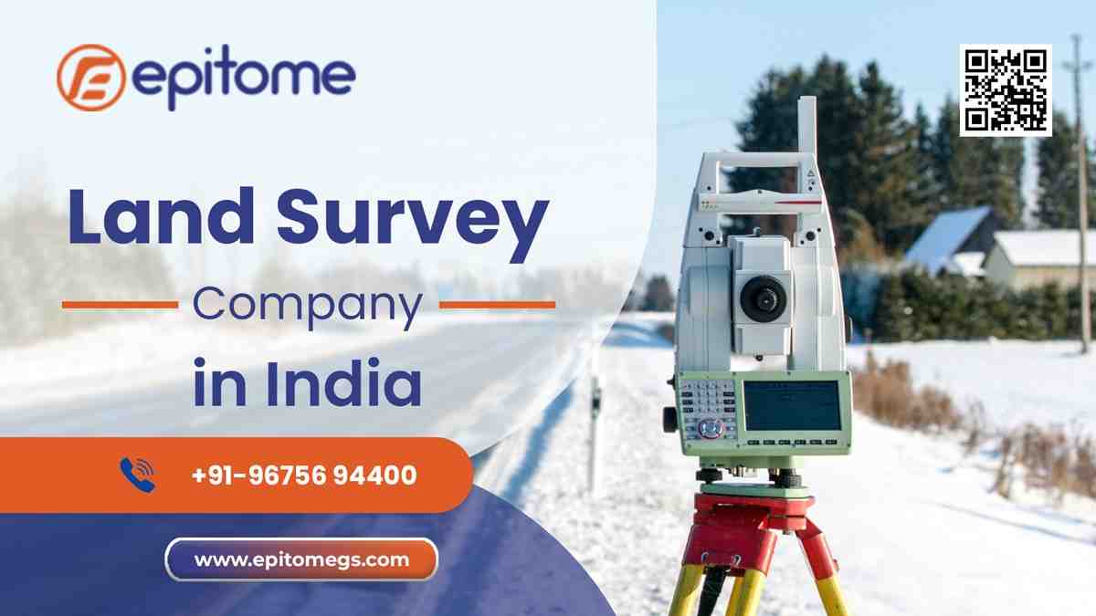


Epitome offers top-tier land surveying services with a focus on accuracy, precision, and professionalism.
In the dynamic world of construction, infrastructure, and urban development, precision is not a luxury—it’s a necessity. Every towering building, every road, and every bridge begins with one crucial step: a land survey. At Epitome Geotechnical Services, we recognize that land surveying is not just about marking boundaries—it’s about laying the foundation for everything that follows.
Land surveying is the process of determining the terrestrial or three-dimensional position of points and the distances and angles between them. This data is essential for planning and executing nearly every form of construction. It ensures that structures are built in the right place and that developers have an accurate understanding of the land’s topography, boundaries, and features.
From large-scale infrastructure projects to residential developments, surveying eliminates guesswork and provides actionable data for architects, engineers, and contractors.
At Epitome Geotechnical Services, our approach to land surveying is defined by precision, innovation, and an unwavering commitment to quality. We understand that every land survey is the foundation of a successful project—so we go beyond standard practices to ensure accuracy and reliability at every stage.
1. Client-Focused Planning
Every project begins with a thorough consultation to understand the client’s objectives, site-specific requirements, and regulatory needs. We believe that effective surveying starts with clear communication and a deep understanding of the end goal—whether it’s construction, development, or land acquisition.
2. Advanced Technology Integration
We employ cutting-edge technologies to deliver high-precision results:
Total Stations and GNSS/GPS Instruments for rapid, real-time data collection
Drone/UAV Surveys for detailed aerial mapping and 3D modeling
GIS Mapping Systems for large-scale data analysis and site visualization
CAD Software for accurate, professional survey reports and drawings
By embracing the latest tools, we ensure our surveys are not only accurate but also time-efficient and cost-effective.
3. Field-to-Office Collaboration
Our survey teams in the field are supported by in-house engineers and drafting professionals who process the data with meticulous attention to detail. This collaborative approach bridges the gap between raw field data and actionable insights, reducing errors and accelerating turnaround times.
4. Integrated Geotechnical Insight
Unlike traditional survey firms, we incorporate our deep geotechnical expertise into the surveying process. This means we assess not only the surface conditions but also the subsurface characteristics that could impact your project. From soil stability and water tables to terrain behavior under load, we provide a complete picture of the land’s potential challenges and opportunities.
5. Accuracy, Compliance & Certification
Every survey we deliver meets local regulatory standards, zoning requirements, and legal frameworks. Our certifications and documentation are fully compliant with municipal, industrial, and governmental norms, making your approval process smoother and faster.
6. Custom-Tailored Solutions
We recognize that no two projects are alike. Whether it’s a compact urban lot, a sprawling industrial site, or a rugged terrain, we customize our methodology and deliverables to fit the unique needs of your project. Our scalable approach means we can support small residential plots just as effectively as large infrastructure developments.
1. Real Estate & Urban Development
We assist real estate developers, architects, and planners with accurate boundary surveys, topographical mapping, and site analysis. Our data helps optimize land use, ensure regulatory compliance, and support smooth project execution from planning to completion.
2. Infrastructure & Transportation
From roads, railways, and bridges to airports and metros, infrastructure projects rely heavily on accurate geospatial and geotechnical information. We provide detailed construction layout surveys, alignment checks, and soil investigations to support safe and sustainable infrastructure development.
3. Industrial & Commercial Construction
For factories, warehouses, industrial parks, and commercial buildings, we offer precise site surveys, foundation assessments, and layout planning. Our insights enable risk mitigation and long-term structural performance.
4. Renewable Energy
Solar and wind energy projects require careful site planning and geotechnical evaluation. We deliver land grading surveys, foundation assessments, and environmental mapping to support the successful development of solar farms, wind parks, and related infrastructure.
5. Agriculture & Land Management
We provide land mapping, irrigation planning, and soil analysis services to support agricultural development, farm layout optimization, and sustainable land use strategies.
Conclusion
At Epitome Geotechnical Services, we believe that accurate land surveying and geotechnical expertise form the backbone of successful development. Whether it’s a residential layout, a major infrastructure project, or a renewable energy installation, our commitment to precision, innovation, and client satisfaction remains unwavering.
Partner with Epitome Geotechnical Services—where accuracy meets reliability, and every project starts with confidence.
