What Is Drone Surveying?
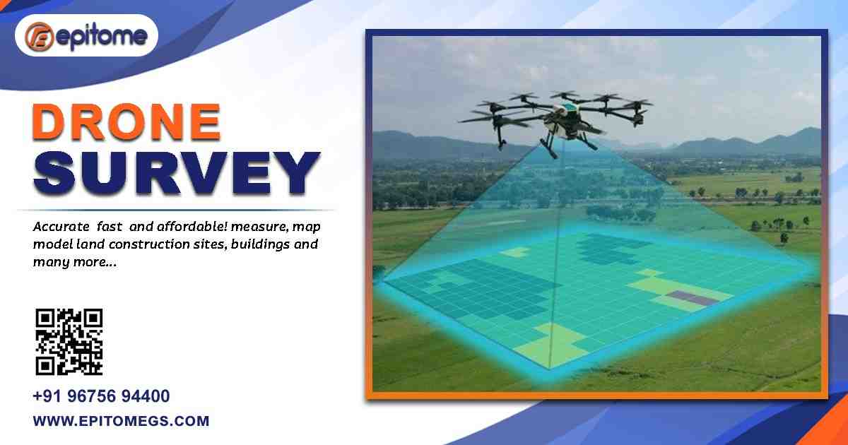
Drone surveying is the process of using unmanned aerial vehicles equipped with sensors, cameras, and GPS receivers to collect geospatial data from the air. Unlike traditional surveying methods that often require significant manpower and time, drone surveying allows surveyors to access and map large or hard-to-reach areas quickly, accurately, and cost-effectively.
High-resolution imagery, LiDAR sensors, multispectral cameras, and thermal sensors can be mounted on drones depending on the application. The data captured is processed using photogrammetry software to create detailed maps, 3D models, orthophotos, and digital elevation models (DEMs).
Advantages of Drone Surveying
Unmatched Accuracy: With RTK (Real-Time Kinematic) and PPK (Post-Processed Kinematic) technologies, drone surveys can achieve centimeter-level accuracy, making them ideal for engineering, construction, and infrastructure projects.
Rapid Data Collection: Drones can survey hundreds of acres in a single flight, drastically reducing field time compared to traditional methods.
Cost Efficiency: Reduced manpower, minimal equipment setup, and quick data acquisition translate into lower overall project costs.
Enhanced Safety: Surveying hazardous, unstable, or dangerous terrains—such as cliffs, mines, and rooftops—can be done safely from the air without putting human lives at risk.
Versatile Applications: From construction site monitoring and agriculture to mining, forestry, flood modeling, and disaster assessment, drone surveying is applicable across numerous sectors.
Key Applications of Drone Surveying
Construction & Infrastructure: Drones provide topographic maps and volumetric calculations essential for earthworks, road design, and structural planning.
Agriculture: Multispectral imaging helps assess crop health, irrigation issues, and pest infestations with precision.
Mining & Quarrying: Drones offer real-time volume measurements of stockpiles and monitor ongoing excavation work efficiently.
Environmental Monitoring: Drones assist in tracking deforestation, erosion, and changes in water bodies with time-lapse mapping.
Urban Planning: They help in creating 3D city models for infrastructure development and land use planning.
The Future of Drone Surveying
The integration of AI, cloud computing, and machine learning is enhancing the analytical capabilities of drone data. Real-time insights, automation, and predictive modeling are becoming more accessible through user-friendly platforms.
As regulatory frameworks evolve and drone technology becomes more affordable, even small businesses and local governments are adopting UAV-based surveying to streamline projects and boost productivity.
Conclusion
Drone surveying stands as the epitome of precision and aerial intelligence, transforming industries with its dynamic capabilities. It not only improves the accuracy and speed of data collection but also opens up new possibilities for innovation in mapping and analysis. For anyone involved in geospatial projects—from engineers and architects to environmentalists and city planners—embracing drone surveying is no longer optional; it is essential for staying ahead in the digital age.