

Technological advancements continue to reshape industries and redefine possibilities
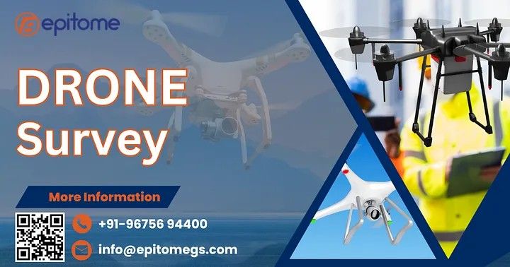
Drone surveying utilizes unmanned aerial vehicles (UAVs) equipped with high-resolution cameras, LiDAR sensors, and other advanced equipment to capture aerial data. At Epitome Geo Technical Service, we leverage state-of-the-art drone technology to deliver cutting-edge survey solutions tailored to meet diverse needs.This method has emerged as a game-changer in the field of geospatial analysis, offering unparalleled accuracy, speed, and cost-effectiveness compared to traditional surveying methods.
Precision and Accuracy: High-resolution imagery and sensor data provide detailed insights with minimal error.
Efficiency: Drones can cover large and inaccessible areas in a fraction of the time it takes for traditional surveys.
Cost-Effective: Reduced manpower and quicker data collection translate to significant cost savings.
Safety: Eliminate the need for surveyors to navigate hazardous terrains or heights.
Versatility: Applicable across industries such as construction, agriculture, mining, and environmental studies.
At Epitome Geo Technical Service, we specialize in providing tailored drone survey solutions across a wide range of applications:
Our drones produce high-definition topographic maps and 3D models, enabling precise land analysis for construction, urban planning, and infrastructure projects.
We assist in tracking project progress, identifying potential issues, and ensuring compliance with safety standards. Real-time data enables informed decision-making.
From monitoring deforestation and water resources to assessing crop health, our drone surveys provide actionable insights to foster sustainability.
With drones, we offer volumetric calculations, pit analysis, and resource estimation, ensuring efficient operations and compliance with regulations.
In times of natural calamities, drones play a crucial role in assessing damage, planning rescue operations, and aiding recovery efforts.
At Epitome Geo Technical Service, we pride ourselves on being pioneers in integrating advanced drone technology into geotechnical solutions. Our team of experts combines technical expertise with innovative tools to deliver results that exceed expectations. Here’s what sets us apart:
Cutting-Edge Technology: We utilize the latest UAVs equipped with top-tier sensors and software for accurate data analysis.
Experienced Professionals: Our skilled team ensures seamless project execution from start to finish.
Customized Solutions: We tailor our services to meet the unique needs of each client.
Commitment to Excellence: Quality and client satisfaction are at the heart of everything we do.
Drone surveys are transforming the way we gather, analyze, and interpret spatial data. As a trusted partner in geotechnical services, Epitome Geo Technical Service is at the forefront of this transformation, delivering innovative and efficient solutions for a variety of industries.
More Info :https://epitomegs.com
Contact : +91-96756 94400
