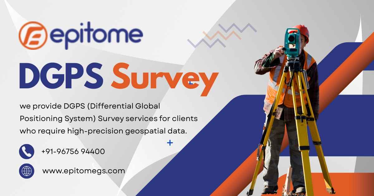
Discover what a DGPS survey is and how Epitome Geotechnical delivers high-precision mapping solutions for construction, land, and infrastructure projects.
In the world of civil engineering, construction, and infrastructure development, accuracy is not just a preference—it’s a necessity. That’s where DGPS Surveying steps in. Standing for Differential Global Positioning System, DGPS is a high-precision method used for location data collection, mapping, and land surveying. At Epitome Geotechnical, DGPS survey services are a cornerstone of their reliable, science-driven approach to geotechnical and engineering solutions.
DGPS is an advanced form of GPS surveying. Unlike traditional GPS, which provides location data with a margin of error of 5–10 meters, DGPS uses reference stations to correct GPS signals and improve positional accuracy down to centimeters. This level of precision is essential in:
*Highway and railway alignment
*Mining and topographic surveys
*Infrastructure layout planning
*Hydrographic and coastal surveys
*Land parcel and boundary demarcation
DGPS uses two receivers—one stationary base station and one or more mobile units (rovers). The base station receives satellite signals and sends correction data to the rovers in real time. This process ensures high positional accuracy in the final survey results.
DGPS surveys offer unparalleled benefits in large-scale and precision-demanding projects:
High Accuracy: Achieve centimeter-level precision, crucial for layout and engineering planning.
Time-Efficient: Large areas can be surveyed quickly without sacrificing data quality.
Versatile Applications: DGPS can be used for road projects, dam construction, land development, and more.
Digital Integration: Data can be directly imported into CAD, GIS, or BIM platforms for seamless project integration.
At Epitome Geotechnical, we bring together expertise, technology, and a commitment to precision in every DGPS survey project. Our skilled surveyors and engineers understand that every millimeter counts in geotechnical and civil work. That’s why we employ state-of-the-art DGPS instruments like Trimble, Leica, and Topcon to ensure unmatched quality.
Expert Team: Our survey professionals are trained in advanced geospatial technologies and field operations.
Advanced Equipment: We use the latest dual-frequency DGPS receivers and post-processing software for error-free results.
Customized Survey Solutions: We tailor our survey methodologies to suit your project’s terrain, scale, and technical demands.
Quick Turnaround: With efficient field-to-office workflows, we provide fast, reliable reporting to keep your projects moving.
Whether it’s a new highway project, a detailed land boundary demarcation, or a feasibility study for a dam, Epitome Geotechnical’s DGPS Survey service ensures that your decisions are backed by data you can trust.
Highway and expressway alignment surveys
Land acquisition and ROW (Right of Way) mapping
Topographic mapping for urban planning
Geological and seismic zone mapping
Infrastructure layout planning and monitoring
In today’s fast-paced development environment, precision and efficiency are not just added values—they are expectations. With DGPS Surveying by Epitome Geotechnical, you’re not just getting a map; you’re getting a clear, data-driven blueprint for progress. Trust us to deliver clarity, confidence, and control—right from the ground up.
Contact Epitome Geotechnical today to learn how our DGPS services can help streamline your next project with pinpoint accuracy.