hydrographic surveying, its techniques, tools, and applications, and how Epitome stands out as a leading provider of hydrographic surveying services
Hydrographic surveying, also known as hydrography, is the science of measuring and describing the physical features of bodies of water. It involves mapping underwater terrain, charting coastlines, and assessing navigational hazards to ensure safe and efficient maritime operations. As an essential branch of surveying, hydrographic surveying plays a critical role in a variety of industries, including marine navigation, construction, oil and gas exploration, environmental protection, and coastal zone management.we will explore the fundamentals of hydrographic surveying, its techniques, tools, and applications, and how Epitome stands out as a leading provider of hydrographic surveying services
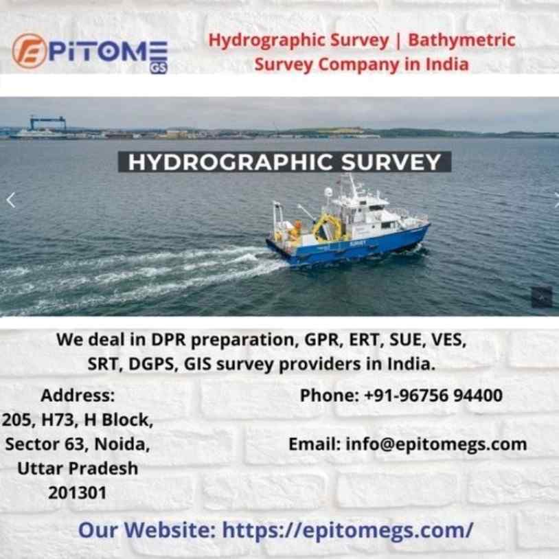
Hydrographic surveying is the process of mapping the underwater topography and features of bodies of water, such as oceans, seas, rivers, lakes, and reservoirs. This specialized field of surveying involves collecting data on water depth, seabed conditions, tides, currents, and other environmental factors that influence water bodies.
Key Techniques in Hydrographic Surveying
Several techniques are employed in hydrographic surveying to gather precise data about underwater environments. Some of the most commonly used methods include:
This technique uses a single sound wave to measure water depth. It involves emitting a sound pulse from a transducer mounted on a survey vessel and measuring the time it takes for the sound wave to return after hitting the seabed.
Unlike single-beam, multi-beam echo sounders emit multiple sound waves in a fan-shaped pattern, covering a wider area of the seabed. This technique offers high-resolution data and detailed three-dimensional maps of underwater terrain, making it ideal for deep-water surveys and complex underwater environments.
Side-scan sonar systems are used to capture detailed images of the seafloor. They work by emitting sound waves from a towfish or hull-mounted device, which reflect off underwater objects and features.
LIDAR technology uses laser pulses to measure distances to underwater surfaces. Airborne LIDAR systems are particularly useful for shallow water surveys, providing accurate depth measurements and detecting submerged features in coastal areas.
SDB leverages satellite imagery to estimate water depths, particularly in shallow and clear-water environments. This technique is cost-effective and useful for large-scale mapping but may be less accurate than traditional methods in deeper waters.
Hydrographic surveying has a wide range of applications across various industries and sectors, including:
Hydrographic surveys provide vital data for the creation of nautical charts used by mariners for safe navigation. These charts help avoid underwater hazards and determine optimal routes for shipping and transportation.
Hydrographic surveys are essential for offshore construction projects, such as building bridges, tunnels, oil platforms, and wind farms. They provide precise data on seabed conditions, enabling safe and efficient construction activities.
Hydrographic surveying plays a crucial role in environmental protection by monitoring changes in seabed morphology, sediment transport, and coastal erosion. It also helps assess the impact of human activities on marine ecosystems.
Hydrographic surveys support the exploration of underwater resources, such as oil, gas, minerals, and aggregates. Detailed mapping of the seabed helps identify potential drilling sites and minimize environmental impacts.
Hydrographic data is essential for disaster preparedness and response, especially in the case of natural disasters like tsunamis, hurricanes, and flooding. It helps assess damage, plan relief efforts, and mitigate risks.
At Epitome, we specialize in providing high-quality hydrographic surveying services tailored to meet the diverse needs of our clients.
We employ state-of-the-art equipment, including multi-beam echo sounders, side-scan sonar, and LIDAR systems, to capture precise data and generate detailed underwater maps.
Our team of skilled hydrographers and surveyors has extensive experience in conducting surveys across various marine environments, ensuring comprehensive data collection and analysis.
We understand that every project is unique. We offer tailored hydrographic surveying solutions to meet the specific requirements of our clients, whether for navigation, construction, environmental monitoring, or resource exploration.
At Epitome, we are committed to delivering high-quality services that meet international standards. Our rigorous quality control processes ensure accurate and reliable data for all our clients.
Hydrographic surveying is a vital tool for understanding and managing the world’s water bodies. From ensuring safe navigation to supporting offshore construction and environmental protection, it has a wide range of applications that benefit numerous industries.
More Info : https://epitomegs.com/
Contact us :+91-96756 94400