Get accurate and reliable bathymetric survey services across India with Epitome Geotechnical Services.
Understanding the underwater landscape is vital for a wide range of marine and coastal development projects. Whether it’s for port construction, dredging operations, underwater pipeline placement, or environmental monitoring, accurate data on the seafloor is essential. This is where bathymetric surveys come into play. At Epitome Geotechnical, we offer advanced bathymetric survey services tailored to deliver reliable, high-resolution data for safe and informed decision-making.
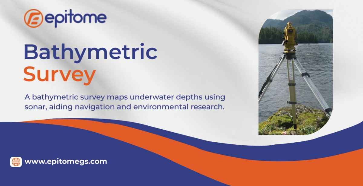
A bathymetric survey is the underwater equivalent of topographic mapping. Instead of mapping hills and valleys on land, bathymetric mapping focuses on charting the depths and shapes of underwater terrain. The result is a detailed map of the seafloor or riverbed, showing contours, slopes, and depth variations.
The primary goal of a bathymetric survey is to determine the depth of water bodies and identify any physical features lying beneath the surface.
When it comes to marine and inland water surveys, accuracy and reliability are non-negotiable. Epitome Geotechnical stands out with its combination of cutting-edge technology, experienced personnel, and client-focused service delivery.
1. Advanced Technology
We invest in state-of-the-art survey systems, ensuring that our data meets the highest industry standards. Our MBES units provide dense data points and 3D modeling capabilities, while our positioning systems ensure minimal errors.
2. Expert Team
Our survey engineers, hydrographers, and GIS specialists bring years of experience and in-depth technical knowledge to every project. From planning to execution and data interpretation, we maintain a rigorous quality control process.
3. Custom Solutions
Each water body and project is unique. We tailor our methodology based on site conditions, project goals, and environmental considerations. Whether it’s a quick depth check or an extensive mapping initiative, we adapt our tools and workflows accordingly.
4. Comprehensive Reporting
Data is only as useful as it is understandable. We provide clear, actionable survey reports, including bathymetric charts, contour maps, digital terrain models, and raw data files, all formatted for seamless integration with your engineering or GIS systems.
At Epitome Geotechnical, our bathymetric surveys serve multiple industries and project types. Some key applications include:
Dredging and Port Maintenance: Ensuring adequate depth for vessels and planning dredging volumes with precision.
Hydrographic Charting: Updating nautical charts for safe marine navigation.
Infrastructure Development: Supporting the design and placement of underwater pipelines, bridges, and cables.
Flood Risk Assessment: Monitoring riverbed profiles and sedimentation patterns to manage flood-prone zones.
Environmental Monitoring: Tracking coastal erosion, habitat mapping, and assessing changes due to natural or human-induced factors.
Resource Exploration: Identifying promising areas for offshore drilling or mineral extraction.
Modern bathymetric surveys utilize sophisticated equipment to capture accurate data beneath the water’s surface. At Epitome Geotechnical, we employ both single-beam and multi-beam echo sounders, coupled with advanced positioning systems like Differential GPS (DGPS) and Real-Time Kinematic (RTK) GPS for pinpoint accuracy.
Here’s a breakdown of the primary methods we use:
1. Single Beam Echo Sounder (SBES)
SBES is a cost-effective method suitable for smaller-scale projects or shallow water bodies. The equipment emits a single acoustic pulse directly beneath the vessel, measuring the time it takes for the signal to bounce back from the seafloor. Though limited in coverage per pass, SBES is reliable and useful for straight-line profiling.
2. Multi Beam Echo Sounder (MBES)
For projects that demand detailed and wide-area seafloor mapping, MBES is the preferred choice. It emits multiple beams across a wide swath of the seabed, offering high-resolution 3D data. This system is ideal for harbor developments, dredging assessments, and large offshore projects.
3. Side Scan Sonar (Optional Integration)
Side scan sonar is sometimes integrated into our surveys to generate detailed imagery of underwater features and obstructions. While it doesn’t directly measure depth, it complements bathymetric data by enhancing feature identification.
4. Positioning and Motion Sensors
To ensure precision, our systems are integrated with high-accuracy GNSS receivers and motion sensors that account for vessel movement, tide variations, and water column sound speed.
Conclusion
Bathymetric surveys play a crucial role in supporting marine infrastructure, environmental protection, and waterway navigation. With Epitome Geotechnical’s advanced technology, skilled personnel, and commitment to quality, clients can count on accurate underwater data that drives informed decisions and safe operations. Whether you are planning a coastal development, conducting an environmental assessment, or managing dredging activities, Epitome delivers the depth and detail you need—literally and figuratively.