Advanced Bathymetric by Epitome Geotechnical Experts offers high-precision underwater mapping solutions tailored for complex marine .
In today’s rapidly growing marine, coastal, and inland development sectors, accurate underwater mapping is no longer a luxury—it’s a necessity. At Epitome Geotechnical Service, we specialize in providing bathymetric survey solutions that offer high-resolution data, enabling more informed planning, design, and execution of infrastructure and environmental projects.
Whether it’s for a bridge, port expansion, dredging operation, or ecological study, our bathymetric expertise ensures clarity beneath the surface—supporting safer, more efficient, and sustainable outcomes.
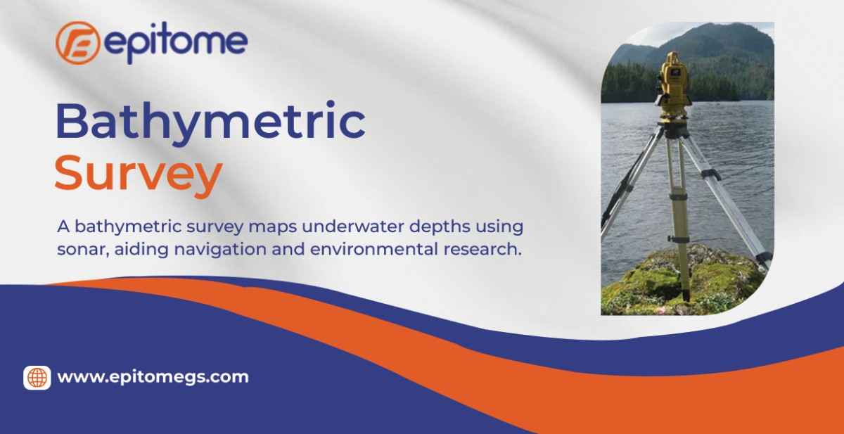
Bathymetric surveying is the process of measuring and charting the depths and shapes of underwater features, such as seafloors, riverbeds, and lake bottoms. Often compared to underwater topographic mapping, bathymetric surveys provide essential data used in the planning and execution of a variety of engineering and environmental projects.
Choosing Epitome Geotechnical Service for your bathymetric surveying needs means partnering with a team that combines technical precision, deep industry knowledge, and a commitment to delivering results that matter. Here’s why clients across sectors trust us:
1. Expertise That Goes Beyond the Surface
Our multidisciplinary team includes hydrographic surveyors, geotechnical engineers, and data analysts who work collaboratively to provide accurate, reliable bathymetric data tailored to your project’s specific goals.
2. Advanced Technology and Methods
We utilize cutting-edge tools such as multi-beam echo sounders, side-scan sonar, and RTK-GPS systems to ensure precise data capture in all environments—whether shallow rivers or complex offshore sites.
3. Integrated Geotechnical Solutions
Unlike general survey providers, Epitome integrates bathymetric data with geotechnical analysis, giving you a full picture of subsurface conditions—from underwater profiles to soil behavior—ideal for planning, design, and execution.
4. Customized, Project-Specific Approach
Every site is unique. We tailor our survey methodologies, deliverables, and reporting formats to suit the requirements of your industry, site conditions, and project phase.
5. Commitment to Quality and Safety
Our operations follow international best practices and strict quality assurance protocols. We also prioritize safe field operations and environmentally responsible practices in all marine and inland environments.
6. End-to-End Support
From survey planning to data processing and interpretation, we support you at every step—ensuring you receive actionable insights, not just raw numbers.
Bathymetric data is critical for understanding subsurface conditions in any water-based environment. The insights it provides are vital for a wide range of applications, including:
Infrastructure Development
Before construction begins on bridges, piers, offshore wind farms, or coastal facilities, accurate knowledge of underwater terrain is essential for safe and stable engineering.
Dredging and Maintenance
Bathymetric surveys support dredging operations by identifying siltation zones, measuring dredging volumes, and validating results with post-dredging assessments.
Environmental Monitoring
Bathymetric data helps track changes in sedimentation, detect erosion, and assess aquatic habitats—providing a strong foundation for environmental impact studies and regulatory compliance.
Pipeline and Cable Routes
When laying subsea cables or pipelines, detailed bathymetric profiles help ensure safe and cost-effective routing, minimizing risk and construction delays.
Hydrology and Flood Risk
Accurate mapping of reservoirs, rivers, and channels supports the design of flood control systems and water resource management plans.
At Epitome Geotechnical Service, we understand that reliable data is the foundation of any successful marine or inland water project. Our bathymetric survey services are designed to deliver more than just depth measurements—we provide clarity beneath the surface, enabling safe engineering, informed decision-making, and long-term environmental sustainability.