Epitome presents a complete guide to drone and aerial survey services, exploring advanced UAV technology.
In recent years, drone and aerial survey services have revolutionized how we collect, analyze, and interpret spatial data. These technologies are faster, more accurate, and more affordable than traditional survey methods. At Epitome, we provide state-of-the-art drone and aerial survey solutions to help clients across multiple sectors gain deep insights, improve planning, and enhance decision-making.
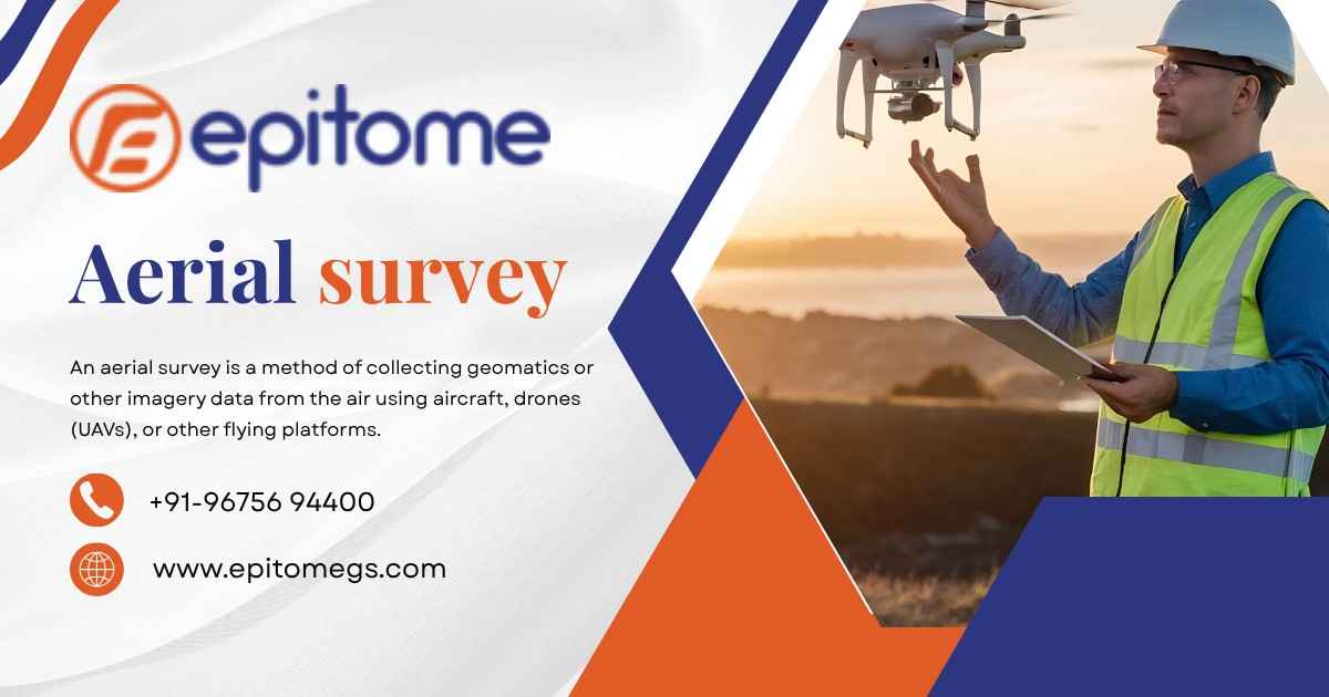
Drone surveys involve the use of UAVs (Unmanned Aerial Vehicles) equipped with high-resolution cameras, LiDAR systems, or multispectral sensors to capture geospatial data from the air. These drones can fly over various terrains—mountains, fields, construction sites—and produce detailed 2D and 3D maps, models, and reports.
Aerial surveys, on the other hand, often use manned aircraft like helicopters or airplanes. These are better suited for large-scale projects or when higher altitude data capture is necessary. Both methods provide crucial geographic data, but drones are more flexible and cost-efficient for most small to medium-sized projects.
At Epitome, we apply these technologies in various sectors, such as:
Construction & Real Estate: Monitor site progress, measure volumes, and generate 3D models of terrain and buildings.
Agriculture: Conduct crop health assessments, identify irrigation issues, and analyze soil patterns using multispectral imaging.
Mining: Perform volume calculations, pit analysis, and environmental monitoring without disrupting operations.
Infrastructure & Utilities: Inspect roads, railways, power lines, and pipelines with high precision.
Disaster Management: Assess flood, earthquake, or storm-affected areas quickly and safely.
These technologies offer a wide range of advantages over traditional methods:
Speed & Efficiency: Complete surveys in a fraction of the time.
Cost Savings: Reduce manpower and equipment costs.
High Accuracy: Use GNSS/GPS and LiDAR for precision mapping.
Access to Hard-to-Reach Areas: Survey rugged or dangerous terrains without risk to human life.
Real-Time Data Access: Get actionable insights quickly for time-sensitive projects.
At Epitome, we combine deep geospatial expertise with cutting-edge tools to ensure you receive accurate and reliable survey data. Our team evaluates each project individually, determining the right mix of drone or aerial technology based on your goals, location, and budget.
We follow a clear, structured approach:
Project Consultation & Planning
Flight Scheduling & Permits
On-Site Data Collection
Post-Processing & Analysis
Deliverables in Your Preferred Format (maps, models, reports)
Choosing the Right Survey Type
When deciding between drone and aerial surveys, consider these key factors:
Project Size: Drones are ideal for smaller or more complex areas; manned aircraft work better for large regions.
Resolution Needs: Drones provide ultra-high-resolution imagery.
Budget & Timeline: Drones offer lower operational costs and faster deployment.
Access & Safety: Drones are perfect for surveying hazardous or restricted areas.
Conclusion
Drone and aerial survey technologies are no longer futuristic tools—they’re essential components of modern spatial analysis and planning. Whether you’re managing infrastructure, agriculture, mining, or urban development, Epitome offers you the accuracy, speed, and insight needed to succeed.
Looking to enhance your project with powerful geospatial data? Partner with Epitome for reliable, professional drone and aerial survey services.