Discover the advantages of bathymetric surveying—enhancing marine navigation, offshore construction, and environmental research.
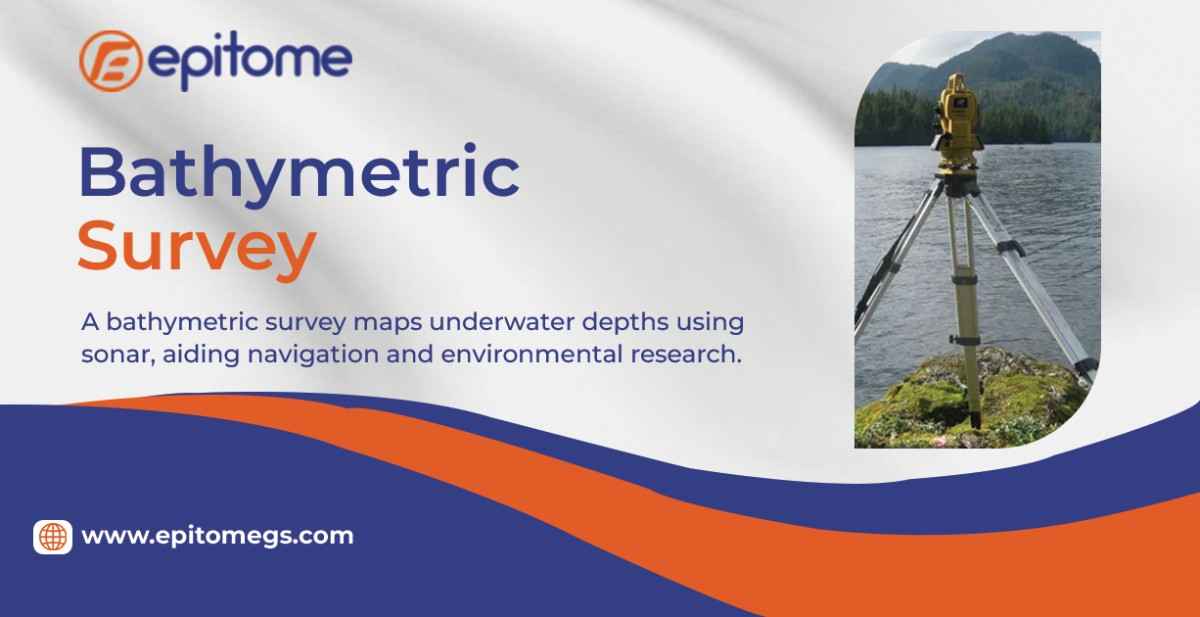
Bathymetric surveying is the key to exploring and understanding underwater landscapes. By measuring water depth and mapping the seafloor, this scientific discipline supports safe navigation, marine research, infrastructure development, and environmental protection. As technology evolves, bathymetric surveys have become faster, more precise, and indispensable for industries that rely on accurate underwater data.
From ensuring maritime safety to preserving marine ecosystems, bathymetric data is crucial for multiple applications:
Safe Shipping & Navigation – Accurate depth charts prevent shipwrecks by identifying shallow zones, submerged rocks, and other hazards.
Offshore Energy Projects – Wind farms, oil platforms, and subsea cables require detailed seabed mapping for stable installation.
Coastal & Flood Management – Governments use bathymetry to predict storm surges, plan flood defenses, and manage sediment buildup.
Scientific Research – Marine biologists and geologists study underwater topography to explore habitats, tectonic activity, and climate change impacts.
Without high-quality bathymetric surveys, underwater operations would be far riskier and less efficient.
Gone are the days of manual lead-line measurements—today’s bathymetric surveys use cutting-edge technology for unmatched precision:
1. Multibeam Sonar Systems (MBES)
MBES emits hundreds of sound beams in a fan-shaped pattern, covering wide swaths of the seafloor. By measuring how long it takes for sound waves to bounce back, these systems generate highly detailed 3D maps.
2. Side-Scan Sonar (SSS)
Unlike MBES, which measures depth, side-scan sonar creates high-resolution images of the seabed, revealing shipwrecks, pipelines, and geological formations.
3. LiDAR Bathymetry
Using laser pulses, airborne LiDAR systems penetrate shallow waters (up to 50m deep) to map coastlines and near-shore zones quickly.
4. Autonomous Underwater Vehicles (AUVs)
Equipped with sonar and cameras, AUVs conduct deep-sea surveys in areas too dangerous or remote for manned vessels.
5. Satellite-Derived Bathymetry (SDB)
Satellites with specialized sensors estimate water depth by analyzing light penetration, providing broad-scale maps where traditional surveys are impractical.
Despite technological advancements, bathymetric surveys still face obstacles:
Deep Ocean Complexity – The extreme pressure and darkness of deep-sea environments make data collection difficult.
Water Clarity Issues – Murky or turbulent waters can distort sonar and LiDAR readings.
Cost & Accessibility – High-resolution surveys require expensive equipment and skilled operators.
However, innovations like AI-powered data processing and improved sensor technology are overcoming these challenges.
With over 80% of the world’s oceans still unmapped, bathymetric surveying remains a frontier of exploration. Emerging trends include:
AI & Machine Learning – Faster data interpretation and automated anomaly detection.
Real-Time 3D Mapping – Instant seabed visualization for dynamic decision-making.
Global Collaboration – Initiatives like the Seabed 2030 Project aim to map the entire ocean floor by 2030.
Bathymetric surveying is more than just measuring depth—it’s about unlocking the mysteries of underwater worlds. As technology advances, our ability to explore, navigate, and protect marine environments will only improve. Whether for shipping, science, or sustainable development, bathymetry remains an essential tool for understanding our planet’s last great unexplored frontier.