Explore the science of bathymetry and discover how underwater mapping reveals .
In a world increasingly reliant on precise geospatial data, bathymetry surveys stand out as an indispensable tool for understanding the hidden landscapes beneath bodies of water. From enhancing maritime navigation to aiding scientific research and supporting infrastructure development, bathymetric surveys serve as the cornerstone for any project requiring detailed information about underwater topography. This blog delves into the essence of bathymetry surveys, why they are vital, and how modern technology has redefined the way we map the seafloor.
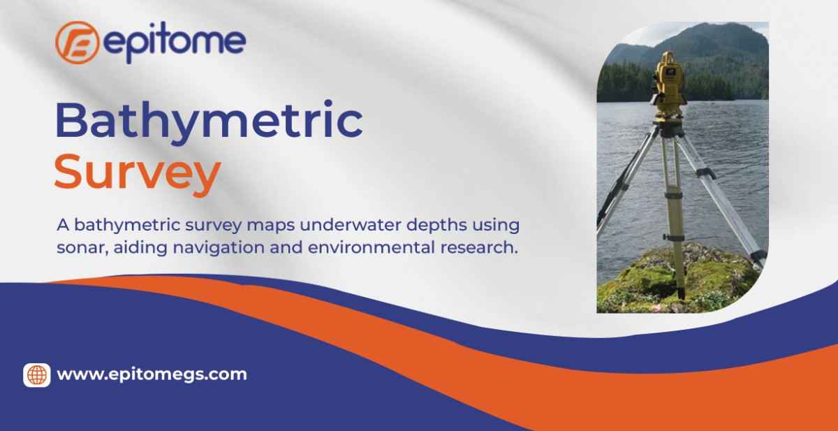
Bathymetric is the study and mapping of the underwater features of oceans, seas, rivers, and lakes. A bathymetry survey involves the measurement of the depth of water bodies to determine the shape and features of the seabed or riverbed. It is essentially the aquatic counterpart to topography and involves collecting depth data and converting it into charts or 3D models.
Accurate bathymetric data is critical across a wide range of industries and applications:
Maritime Navigation: Helps ensure safe passage for ships by identifying shallow areas, submerged obstacles, and underwater channels.
Dredging Projects: Provides pre- and post-dredging data to guide excavation and verify results.
Flood Modeling and Risk Management: Supports hydrological modeling and floodplain mapping for better disaster planning.
Environmental Studies: Assists in assessing aquatic habitats, sediment transport, and underwater ecosystems.
Infrastructure Development: Informs the design and placement of bridges, pipelines, ports, and offshore structures.
Modern Bathymetric surveys employ various technologies to capture precise data:
Single-Beam Echo Sounders (SBES): Emit a single sonar beam directly below the survey vessel to measure depth. Ideal for smaller, simpler projects.
Multi-Beam Echo Sounders (MBES): Offer broader coverage by emitting multiple sonar beams, allowing high-resolution mapping of large areas quickly and accurately.
LiDAR (Light Detection and Ranging): Airborne systems that use lasers to map shallow coastal waters, combining bathymetric and topographic data.
Side Scan Sonar: Provides detailed images of the seafloor’s texture and structure, often used alongside MBES for comprehensive analysis.
GPS and Motion Sensors: Integrated to enhance the accuracy of positional and depth data, compensating for vessel movement and water currents.
Today’s bathymetry surveys are not just about depth—they’re about data accuracy, spatial resolution, and the ability to visualize the unseen. The use of real-time kinematic positioning (RTK), autonomous surface vessels (ASVs), and advanced data processing software ensures that surveys deliver pinpoint precision. High-definition 3D models and GIS integration allow stakeholders to make informed decisions faster and more confidently.
Applications Across Industries
Whether it’s for offshore wind farms, marine construction, coastal management, or pipeline routing, bathymetry surveys play a pivotal role. Ports and harbors rely on them for dredging and safe navigation. Oil and gas companies use them for subsea asset installation. Governments depend on them for environmental monitoring and disaster resilience.
Conclusion
A bathymetry survey is far more than just measuring water depths—it’s the epitome of underwater spatial intelligence. As technology evolves, these surveys continue to unlock new frontiers beneath the surface, offering insights that drive safety, innovation, and sustainability. Whether you’re an engineer, scientist, or policymaker, understanding the power of bathymetric data is crucial for any venture touching the water.