Explore the benefits of an underground utility survey with Epitome Geotechnical.
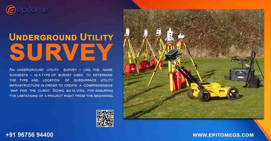
An underground utility survey is a critical process used to identify and map the location, depth, and condition of utilities buried beneath the ground. These utilities may include water pipes, gas lines, electrical cables, telecommunications infrastructure, and more. The survey employs specialized tools and technologies, such as Ground Penetrating Radar (GPR) and Electromagnetic Induction (EMI), to detect and locate these utilities accurately.
An underground utility survey is a process that maps out where utilities are buried under the ground. These utilities include things like gas pipes, water lines, electrical cables, and telecommunication systems. Before digging, construction workers use these surveys to find out where the utilities are so they can avoid hitting or damaging them. It’s a key step to ensure that construction goes smoothly and safely.
Safety First
The top reason for doing an underground utility survey is safety. Digging into the ground without knowing where utilities are can lead to serious accidents. For example, cutting a gas line can lead to explosions, and hitting an electrical cable can cause power outages or even electrocution.
Cost Efficiency
Accidentally damaging utilities during construction is expensive. Not only do you have to repair the damage, but it can also lead to significant delays. By knowing exactly where utilities are located, the risk of damaging them is minimized, which means fewer repairs and unexpected costs.
Staying Compliant with Regulations
In many places, it’s required by law to conduct an underground utility survey before starting any digging or excavation. These regulations are in place to prevent accidents and ensure the safety of workers and the community.
Better Planning and Design
When you know where the utilities are, you can design your construction project more effectively. It helps engineers, architects, and contractors plan where new utilities can go without interfering with the old ones. It also helps avoid any conflicts or redesigns during the project.
There are a few different methods used to locate underground utilities. Here are some of the most common ones:
Ground Penetrating Radar (GPR): This uses radar pulses to detect utilities underground. It’s great for finding things like water pipes or telecommunication cables that aren’t made of metal.
Electromagnetic Induction: This method uses electromagnetic fields to locate metallic utilities like gas lines, water pipes, and power cables.
Acoustic and Hydro-Excavation: These methods use sound waves or high-pressure water to expose underground utilities without causing any damage.
Utility Locators: These are handheld devices that detect the location of utilities like electrical cables and power lines by sending signals underground.
Preventing Service Interruptions: These surveys help avoid accidental damage to essential services like water or electricity, preventing interruptions for both workers and local residents.
Enhanced Safety: Having a clear picture of what’s underground helps reduce the risk of accidents, protecting both workers and the public.
Streamlined Planning: Knowing where the utilities are allows for better planning and design, making the construction process more efficient and avoiding delays.
Fewer Delays: With accurate information about underground utilities, there are fewer surprises, meaning the project can stay on schedule.
Conclusion
When it comes to construction and excavation, underground utility surveys are a must. They make sure that we don’t accidentally damage important utilities, which can cause big problems down the line. By using the latest technology and expertise, these surveys provide essential information for planning safe and cost-efficient projects. Whether it’s a new construction site or a road repair, an underground utility survey is an essential step in ensuring that everything runs smoothly and safely.